Winter weather tips from our operator, Inframark
Winter weather and freezing temperatures are expected this week across Texas. Protect your Pets, Plants, People, and Pipes.
Winter weather and freezing temperatures are expected this week across Texas. Protect your Pets, Plants, People, and Pipes.
The WHCRWA was able to isolate its system prior to the City of Houston’s issuance of its Boil Water Notice on November 27, 2022.
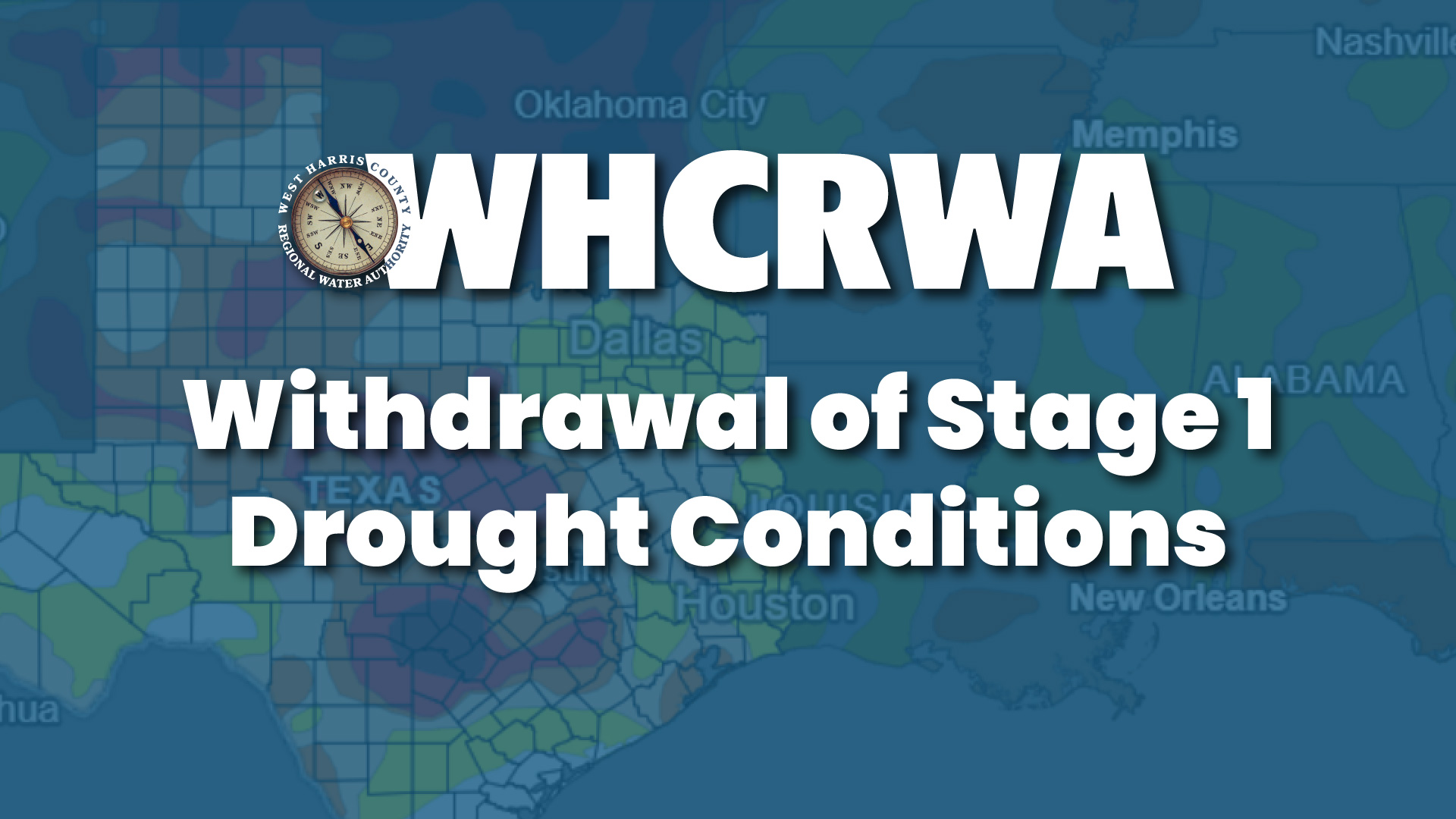
As of 11/15/2022, the West Harris County Regional Water Authority has withdrawn implementation of Stage 1 of its Drought Contingency Plan.
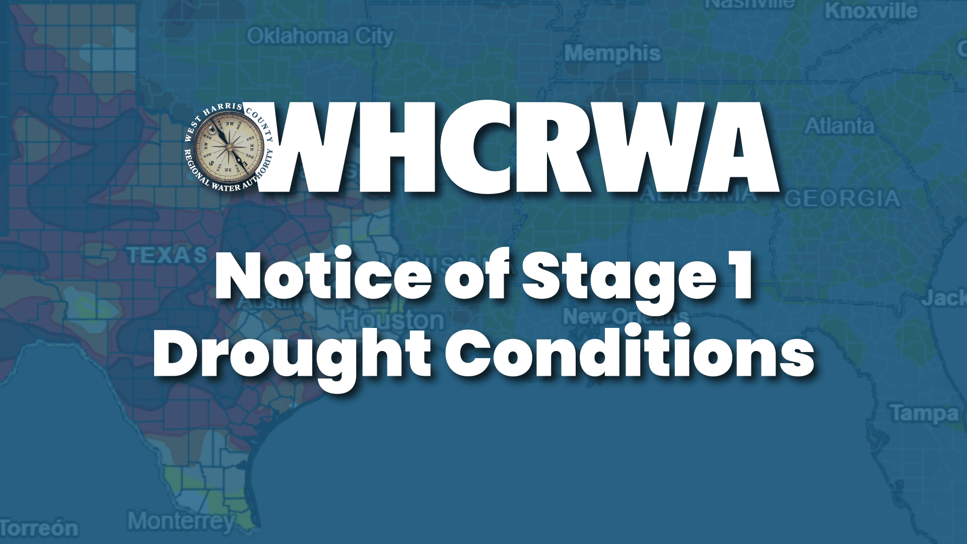
WHCRWA has triggered Stage 1 (voluntary reductions) of its Drought Contingency Plan due to climate and weather conditions.
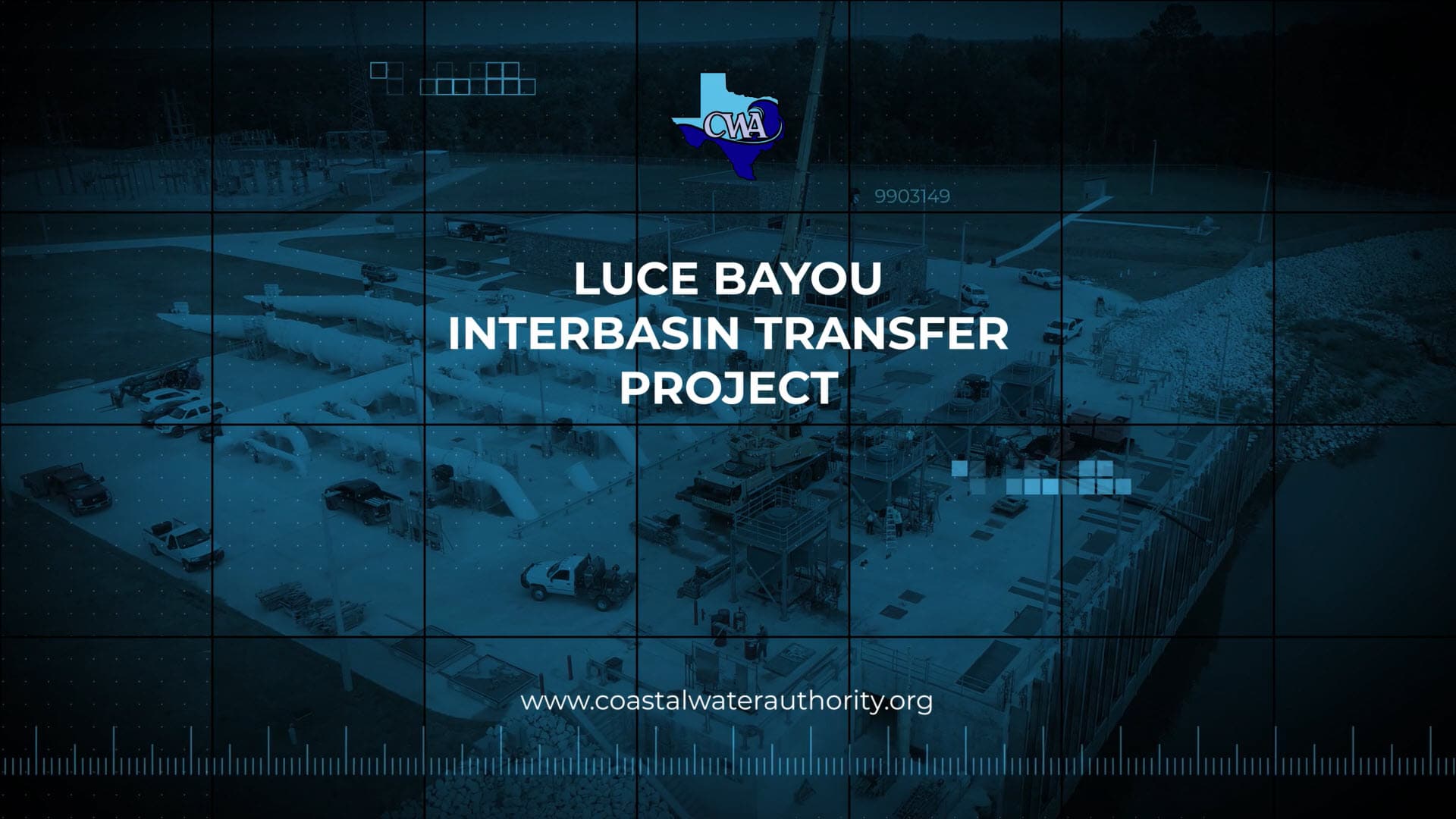
The Coastal Water Authority has released a new video commemorating the completion of the Luce Bayou Interbasin Transfer project.
The plan projects a 73 percent population increase over the next 50 years, from 29.7 million in 2020 to 51.5 million in 2070.
The $381 million project is considered the region's most important water supply project and represents the culmination of more than 50 years of effort by local leaders.
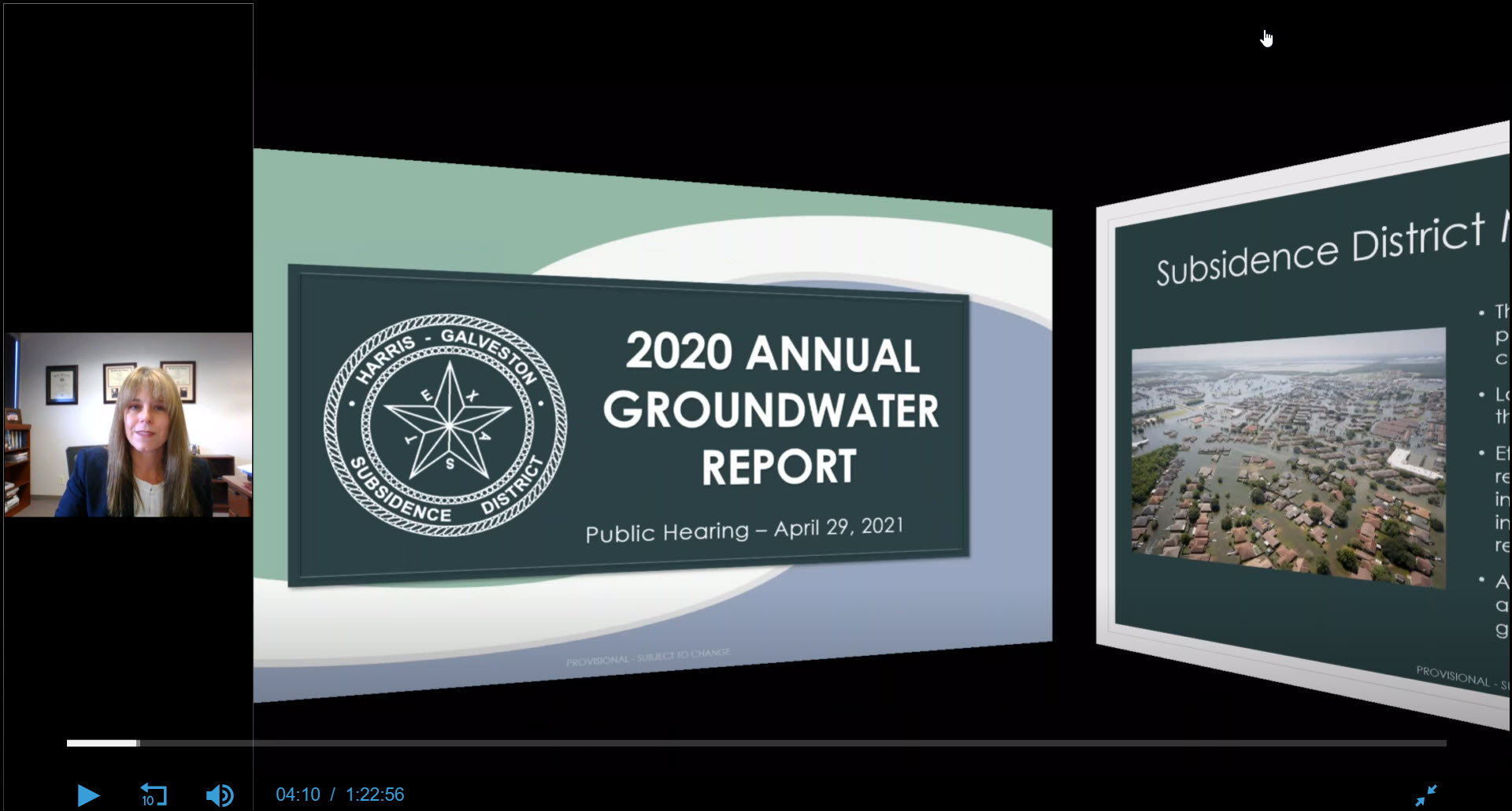
The 2020 Annual Groundwater Report includes recent subsidence, aquifer water level and groundwater use data.
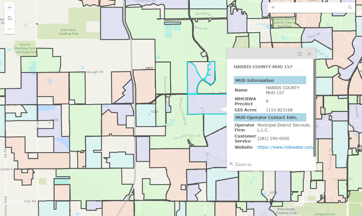
Visitors to the website can use the map application to locate their water provider within the boundaries of the WHCRWA.
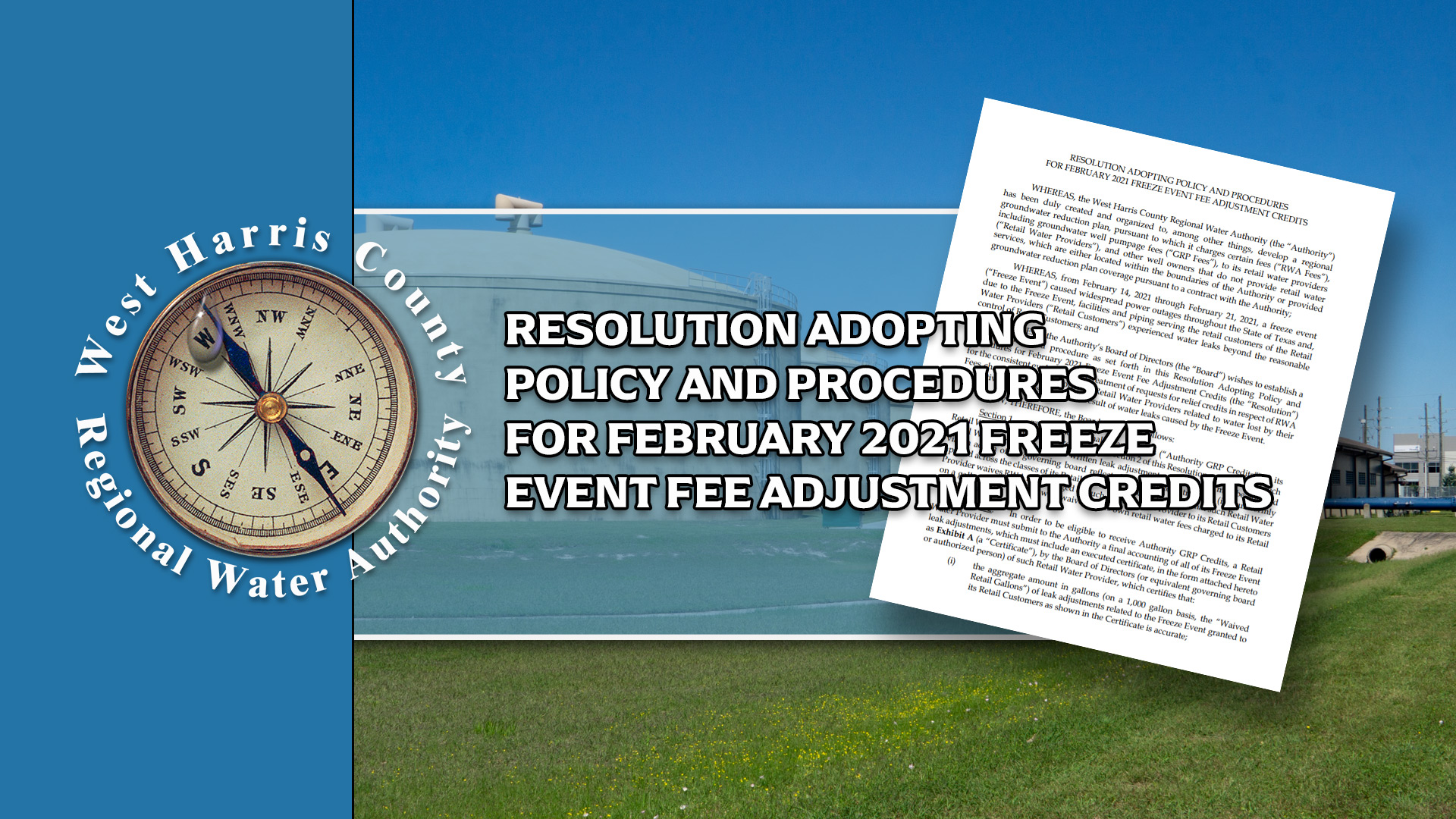
The WHCRWA has adopted a Resolution Adopting Policy and Procedures for February 2021 Freeze Event Fee Adjustment Credits
The content contained in this website is provided by West Harris County Regional Water Authority (The “Authority”) as a service to you. This website and the information contained herein should not be relied upon or used as information for the purposes of securities disclosure about the authority or its financial condition. Persons should not rely upon this information when considering whether to buy, sell or hold bonds issued by the Authority. All information contained herein speaks only as of the date indicated. The Authority assumes no duty to update any information contained in this website at any time.